
- Project GIS MAPPING
- Clients Great Source
- Time 1 Year
- Status Excellent
Description
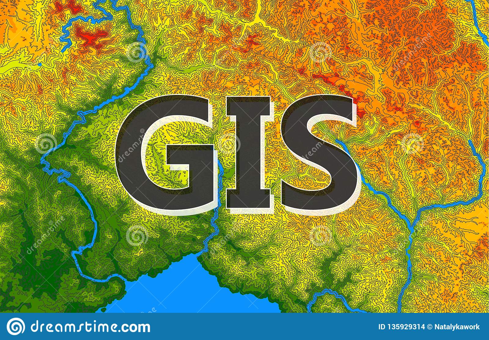
A geographic information system (GIS) is a system designed to capture, store, manipulate, analyze, manage, and present all types of geographical data. It could be argued (and the propeller heads often do) that any digital data that contains location based information is in fact a GIS.
This location information in the GIS industry is called “spatial data” and it could be an address, coordinates containing latitude and longitude or complex three dimensional geometry.
Purpose of GIS
A GIS has one purpose: To allow you to quickly and easily answer questions about your data that relate to location.
The most common use of a GIS is is to produce data visualizations in the form of a map. The idea being that each visualization is communicating something that might not be obvious from the raw data alone.